FAO launches CropSuit: a digital assistant for precise crop selection
FAO launched CropSuit, an app helping farmers choose the best crops based on local conditions.
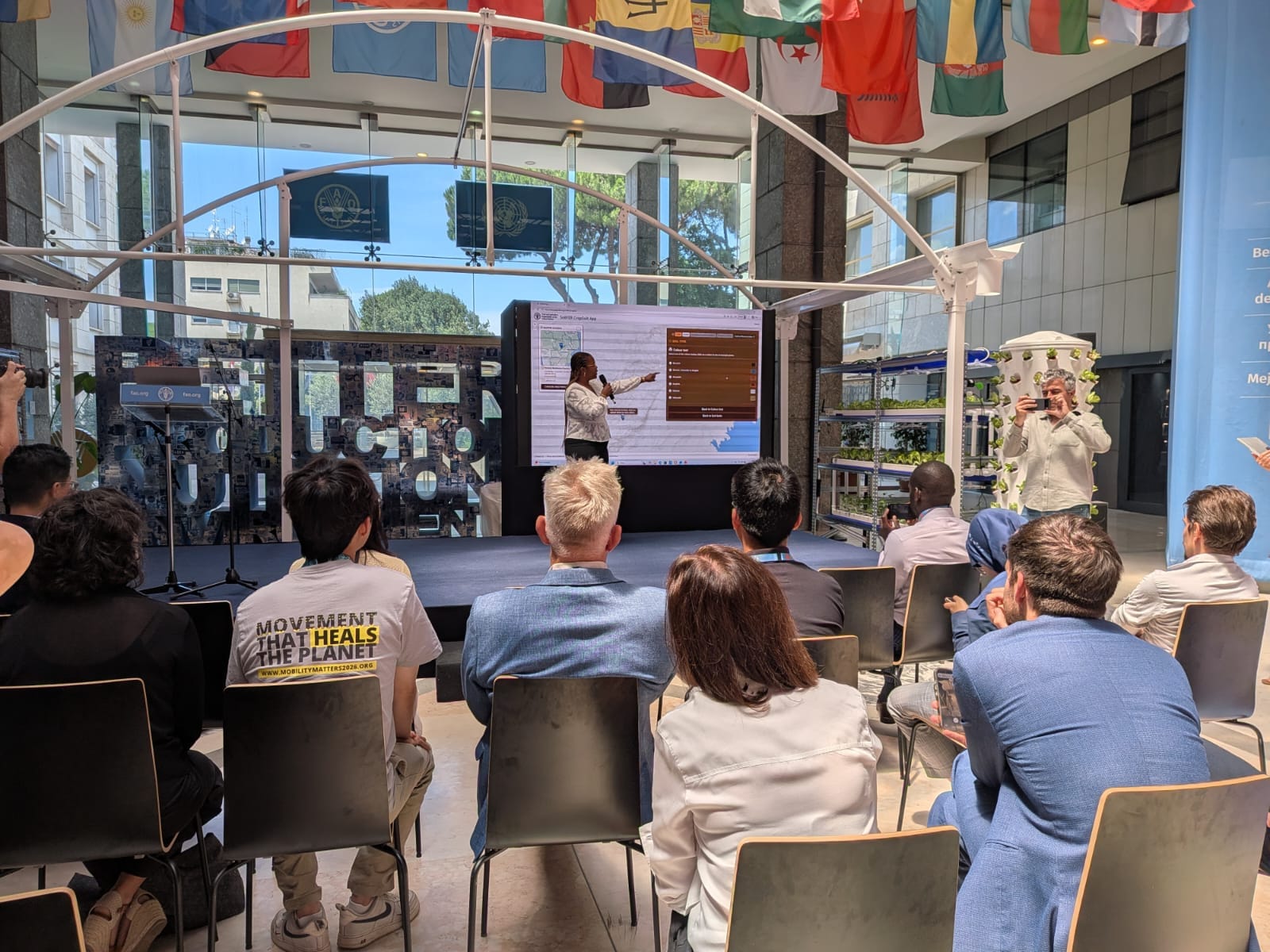
The Food and Agriculture Organization of the United Nations (FAO) has launched a free web application called CropSuit that helps farmers determine the most suitable crops for specific land plots based on soil, climate, and topographic data. The tool aims to increase crop yields and the resilience of agriculture to climate change.
In a Nutshell
• CropSuit combines data on soil, climate, terrain, and land cover to select optimal crops.
• The application has already been tested in Zambia, where it showed the advantage of alternative crops over maize on unsuitable soils.
• The tool was developed under the FAO's soil mapping program SoilFER with support from Japan and the USA.
• 1.7 billion people worldwide live in areas where land degradation reduces agricultural productivity.
How CropSuit Works
The application analyzes a combination of soil characteristics, climatic conditions, terrain, and land cover to identify crops with the highest yield potential for a specific location. It is built on the Global Agro-Ecological Zoning (GAEZ) framework, a joint development of the FAO and the International Institute for Applied Systems Analysis (IIASA).
“The technology does not replace farmers. It gives them better information to make the right decisions at the right time and in the right place. CropSuit is an example of how innovation turns science into practical support for farmers,” said Lifeng Li, Director of the FAO Land and Water Division.
Practical Experience
In Zambia, the effectiveness of CropSuit has already been confirmed under an FAO program. Detailed soil maps combined with data on rainfall and other factors showed that while maize grows well on some fields, neighboring plots with different soil characteristics are more suitable for cassava, cowpea, and fonio.
Significance for Central Asia
For Kazakhstan and the countries of Central Asia, where soil degradation and salinization are becoming critical challenges, CropSuit could become an important adaptation tool. The application allows for considering local land characteristics and selecting crops resistant to drought and salinity, which is especially relevant in the context of climate change and water scarcity. CropSuit expands the functionality of the SoilFER Geospatial Platform, providing an intuitive interface for working with open data. The application covers a wide range of crops, including nutritious, traditional, and local species that can improve food security.
Author's Conclusion
The launch of CropSuit is a timely response to the global crisis of land degradation. For Kazakhstan, where precision agriculture is only gaining momentum, the adoption of such tools could be a breakthrough in increasing the efficiency of agricultural land use and reducing dependence on food imports. However, the key issue remains the accessibility of digital technologies for smallholder farmers, who form the backbone of the region's agricultural sector.

Comments ()