Caspian Sea level dropped by two meters over 20 years - scientists propose AI-based monitoring system
Kazakh and international scientists discussed saving the Caspian Sea.
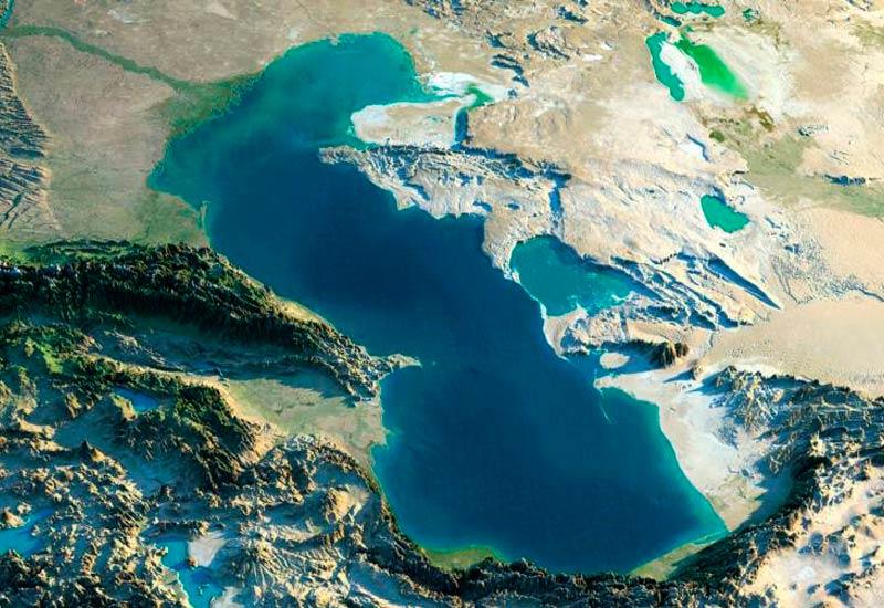
At the National Academy of Sciences of Kazakhstan, scientists proposed creating a unified Caspian Sea monitoring system based on satellite data and artificial intelligence.
The essence in brief
- The level of the Caspian Sea has dropped by approximately two meters over the past 20 years, and the sea's area has noticeably shrunk.
- Scientists propose creating a unified system for monitoring and forecasting the water balance based on satellites and artificial intelligence.
- The cause of the shallowing is not only climate but also the anthropogenic factor: human activity in the upper reaches of inflowing rivers.
- Kazakhstan has already created a scientific institute for monitoring the sea and secured the inclusion of its initiative in an interstate program of the five Caspian countries.
What the scientists discussed
At the National Academy of Sciences of Kazakhstan a discussion was held on ways to preserve the Caspian Sea. Participants proposed creating a unified monitoring and forecasting system based on satellite data and artificial intelligence technologies. As part of this work, they plan to develop scientific scenarios for the water balance and options for adapting coastal territories.
Special attention was given to the principle of "land - water - energy - biodiversity," which allows ecological and economic issues of the Caspian region to be viewed as a single system rather than a set of disconnected problems.
Eco-activist Vadim Ni outlined the scale of what is happening: "Today the state of the Caspian Sea is assessed as approaching an ecological crisis. This is primarily linked to the fact that the water level is falling. Over the past 20 years it has dropped by about two meters, and the area of the Caspian Sea is significantly shrinking. And this trend is constant."
Climate or humans
The key question raised by the discussion participants was what exactly is causing the sea level to decline. Without an answer to it, it is impossible to build an effective rescue strategy.
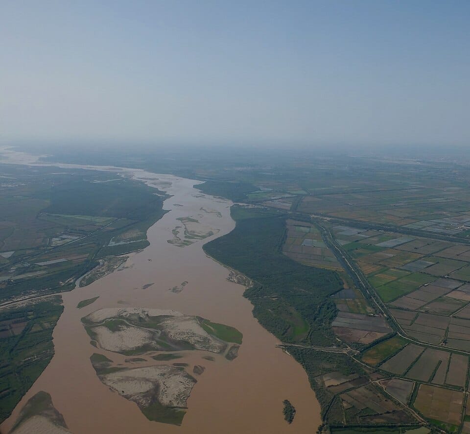
Director of the Institute of Geo-Hydroinformatics (Germany) Nima Shokri emphasized that the problem is not limited to weather alone: "Our research shows that along with climate change, the anthropogenic factor—that is, human activity—plays a significant role in the shallowing of the Caspian. Particular attention must be paid to water resource management, especially in the upper reaches of rivers. But water use is directly tied to the national priorities of individual states. Therefore, national plans need to be revised and common ground must be found."
In other words, the shallowing of the Caspian is not only a climate trend that cannot be stopped by local measures, but also the result of how the countries of the region distribute the water of the rivers flowing into the sea.
Kazakhstan is already building a monitoring system
The proposal by the Academy of Sciences did not arise out of nowhere—it builds on already existing infrastructure. Since September 2025, the Kazakh Research Institute of the Caspian Sea has been operating in the country, for whose equipment the government allocated 1.1 billion tenge. The institute is already conducting observations on 50 parameters in the open water area and 26 parameters in the coastal zone, meaning the database for a future AI forecasting system is already partially being formed.
At the site of this institute in August 2026, UNDP discussed with the Kazakh side three environmental projects for the Caspian: integrated management of marine and coastal resources, development of a circular economy, and combating plastic pollution of the sea. A separate track is a joint project with Japan to strengthen monitoring of the Kazakh sector of the sea.
From national measures to an interstate agreement
The idea voiced by scientists this week directly echoes what happened at the diplomatic level a month earlier. In September 2026, the five Caspian countries—Kazakhstan, Azerbaijan, Iran, Russia, and Turkmenistan—agreed on an interstate program to save the Caspian within the framework of the Tehran Convention. The parties agreed to establish end-to-end data exchange on the state of water, biological resources, and sea level fluctuations—precisely the kind of data exchange needed for the unified monitoring system proposed by scientists to function at the level of the entire body of water, and not only the Kazakh sector.
Why this matters for Kazakhstan
Kazakhstan has the longest coastline among the Caspian states, so the shallowing directly affects fishing, shipping, port infrastructure, and the coastal ecosystems of the country's western regions. The decline in sea level also increases the risks of desertification of the exposed seabed areas—a process similar to what the country already observed with the Aral Sea.
The satellite- and AI-based system proposed by the Academy of Sciences could become a logical extension of the already operating monitoring infrastructure. But, as the scientists themselves emphasize, without coordinated action by all five Caspian countries, local measures will not be able to reverse the overall trend.
Author's conclusion
The discussion at the National Academy of Sciences captures what experts are saying with increasing confidence: the Caspian is shallowing not only because of climate, but also because of how the countries of the region manage the rivers in its basin. Over the past year, Kazakhstan has gone from creating a national scientific institute to having its initiative included in an interstate program of five countries—and the Academy of Sciences' proposal for an AI-based system looks like the next natural step in this chain. But the key challenge still lies not in technology but in politics: whether the Caspian states will be able to revise their national water-use priorities for the sake of a shared body of water on which all five countries depend.
Comments ()