Earth lost 12.5 trillion tons of ice over nearly half a century of satellite observations
An international team of polar scientists has presented the most complete picture yet of the planet's melting ice sheets.
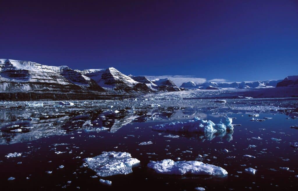
The data covers almost half a century — and shows that the main culprit behind the ice loss was not warm air at all, but the ocean, writes APnews.com.
The gist in brief
- A new study published in the journal Scientific Data showed that since 1979, Greenland and Antarctica have together lost about 12.5 trillion tons of ice — enough to cover the entire territory of the continental United States with a one-and-a-half-meter layer of ice.
- Five-sixths of the ice loss is caused not by warmer air, but by warmer ocean water eroding glaciers from below and from the sides — it is precisely this mechanism that turned out to be the main driver of melting.
- An international team of scientists led by the European Space Agency for the first time extended the observation period from the 1990s back to 1979 for Antarctica and to 1972 for Greenland, adding NASA satellite data to the European data.
- According to one of the study's authors, Ines Otosaka, there is a clear trend of increasing ice mass loss from decade to decade — especially in the portion of ice discharged directly into the ocean.
The ocean, not the air — the main culprit
The mechanism identified by the study changes the conventional understanding of exactly how polar ice melts. The main damage is caused not by the gradual warming of surface air above the ice sheets, but by warm ocean water eroding glaciers from within — from below and from the sides, where they come into contact with the sea. It is this process that triggers the faster sliding of glaciers into the ocean, rather than simply their surface melting. Understanding this distinction is fundamentally important for forecasting: if the main mechanism is oceanic rather than atmospheric, then future sea-level rise models must first and foremost take into account the temperature and circulation of ocean waters at the edges of the ice sheets.
Half a century of data instead of three decades
Before this study, scientists had reliable satellite data on the state of the ice sheets mainly from the 1990s onward — that is when European satellite missions began systematic observations. By including earlier NASA satellite data in the analysis, the international team was able to reconstruct the history of changes in ice volume in Antarctica as far back as 1979, and in Greenland as far back as 1972. This nearly doubling of the temporal coverage gives researchers a far more reliable basis for identifying long-term trends, rather than merely recording individual anomalous periods.
An important caveat about the recent gain in Antarctica
For readers who have followed our earlier coverage, this news may seem to contradict information already known: we wrote that in 2021–2023, the Antarctic ice sheet unexpectedly and temporarily gained mass due to a rare tropical climate mechanism — the warming of the so-called tropical warm pool near the Malay Archipelago. There is no contradiction here: that episode was described by the study's authors themselves as a temporary pause recurring roughly once a decade, not a reversal of the long-term trend. The new study, covering almost half a century of data, precisely confirms: behind individual temporary pauses like that Antarctic anomaly lies a steady, decade-over-decade accelerating trend of overall ice loss.
Connection to the regional glacier cluster
The global picture painted by the new study resonates well with the regional-scale material we have examined in recent weeks. We wrote about how residents of Gilgit-Baltistan in Pakistan are reviving the traditional practice of "glacier grafting" to create artificial water sources to replace retreating natural ones, how Kyrgyzstan created a special fund to protect glaciers and Issyk-Kul after the lake's level dropped by almost 14 meters, and how sheep's wool is being tested on a Swiss glacier as a replacement for synthetic coverings that slow melting. All these local, sometimes ingenious initiatives unfold against the backdrop of the same global trend that is now confirmed by almost half a century of satellite data — the planet's largest ice reservoirs are losing mass at an accelerating rate, and no individual local adaptation can change this fundamental process, only mitigate its consequences for specific communities.
Author's conclusion
The significance of the new study lies not in the fact that it reports something fundamentally unexpected — scientists already knew that the ice sheets are melting — but in the fact that it for the first time provides a sufficiently long and reliable data series to confidently separate the long-term trend from short-term fluctuations like the temporary Antarctic gain. For any future sea-level rise forecasts, this means the need to incorporate specifically the oceanic, and not only the atmospheric, melting mechanism as the primary one — and therefore to revise models where previously mainly the warming of air above the glaciers themselves was taken into account.

Comments ()