HUNN.KZ
  • Home
  • About
Sign in Subscribe

Satellite Monitoring

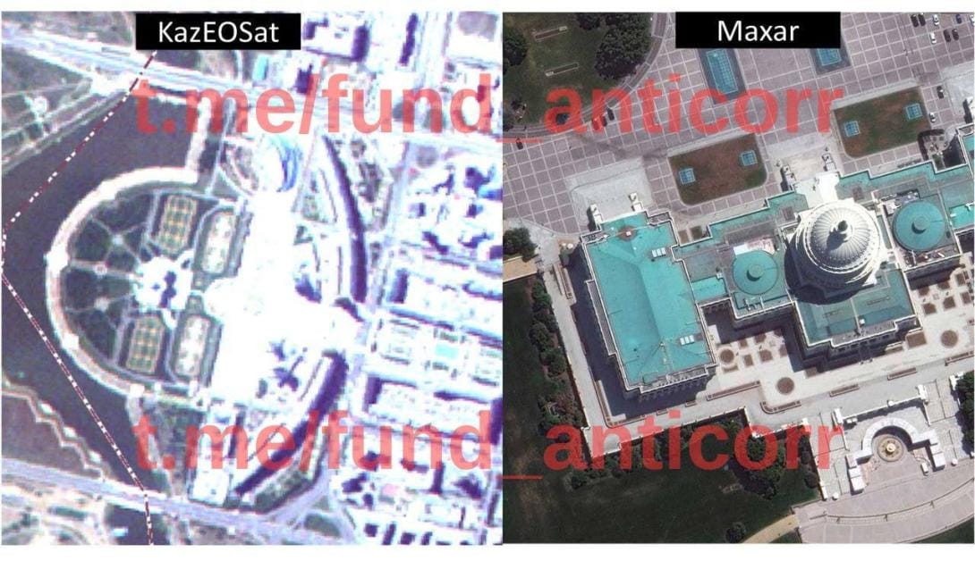
Who is covering for the National Space Agency?

Who is covering for the National Space Agency?

Citing its own satellites, Kazakhstan’s national space company Қазақстан Ғарыш Сапары wins sole-source tenders from the Defense Ministry, Emergency Ministry, phytosanitary center, and regional akimats. ҚҒС boasts it uses its satellite data, but this is n
Attila The Hunn 09 Jul 2026
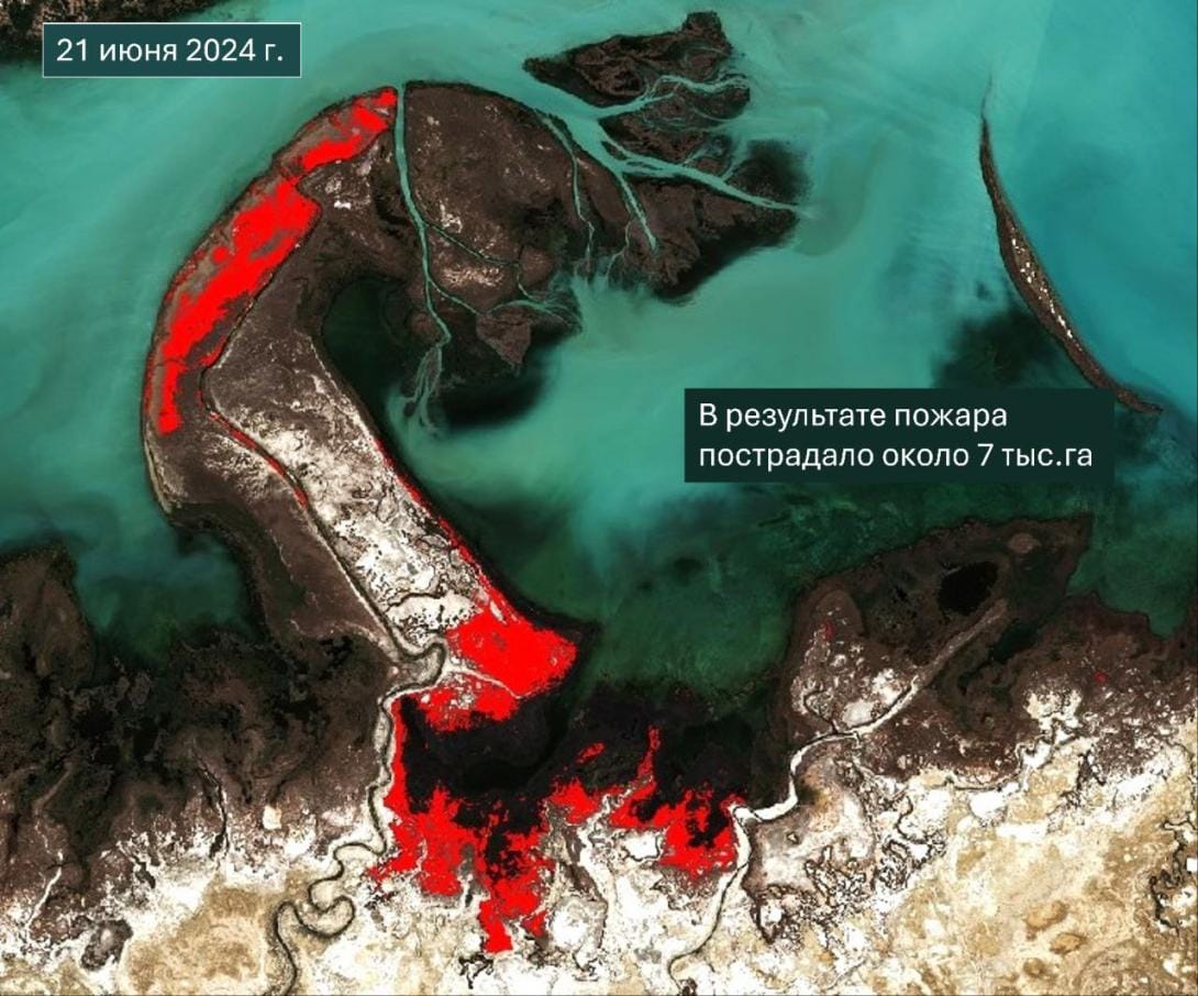
The true scale of fires on Balkhash

The true scale of fires on Balkhash

According to one official version, about 3,000 hectares of shoreline burned; another says 30 hectares of reeds smoldered. So what really happened?
Attila The Hunn 09 Jul 2026
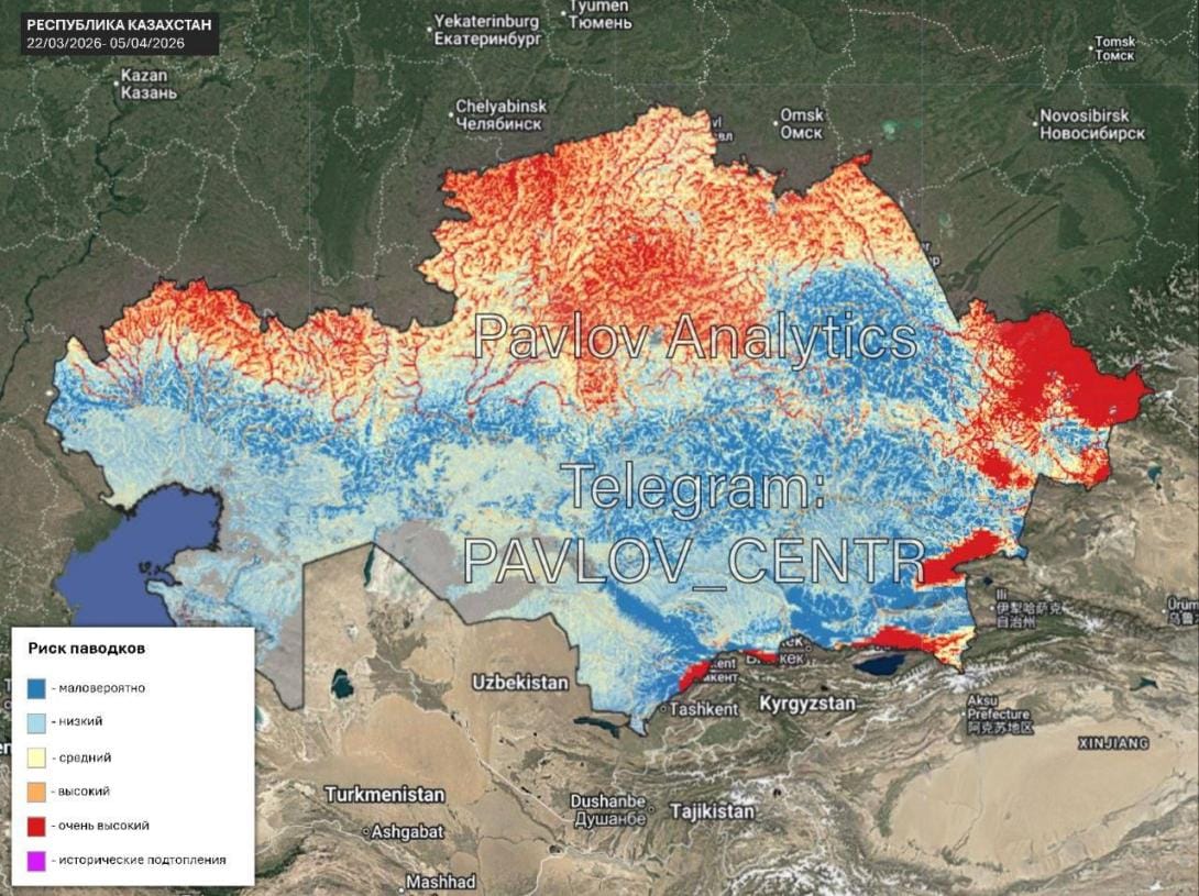
Forecast of floods in Kazakhstan for spring 2026

Forecast of floods in Kazakhstan for spring 2026

Interactive flood risk map for Kazakhstan: late March to early April 2026.
Attila The Hunn 08 Jul 2026
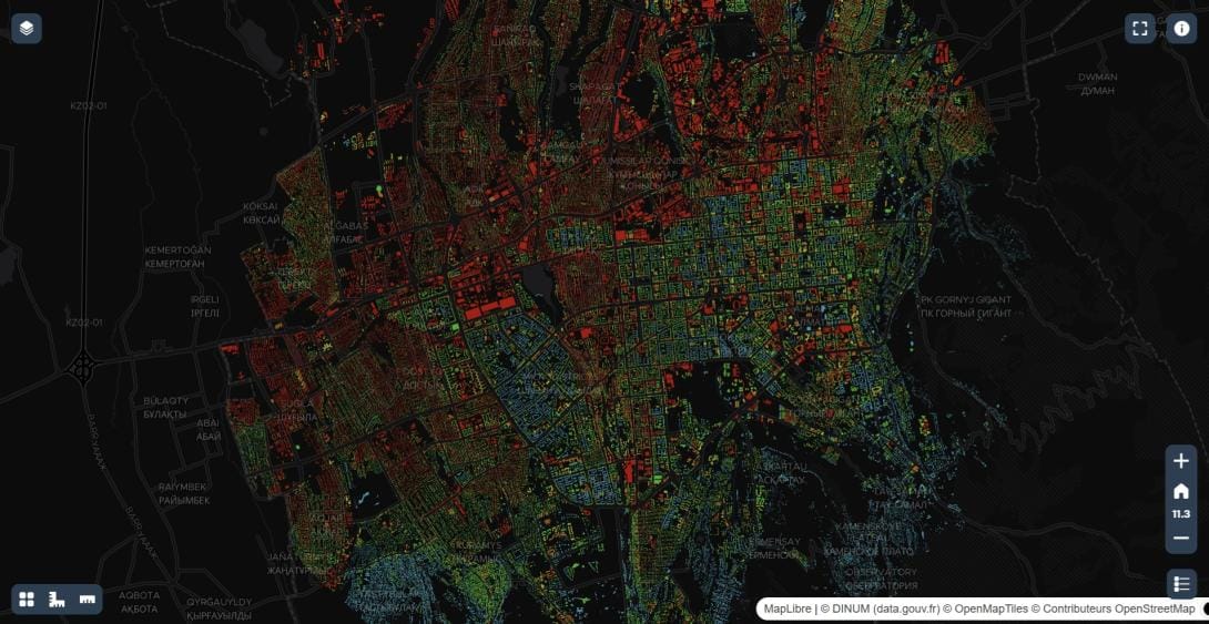
Oasis-meter - a map of heat islands in Almaty

Oasis-meter - a map of heat islands in Almaty

Urban microclimate monitoring project. An interactive 3D map shows which buildings are truly "hot" and where the air is breathable.
Attila The Hunn 08 Jul 2026
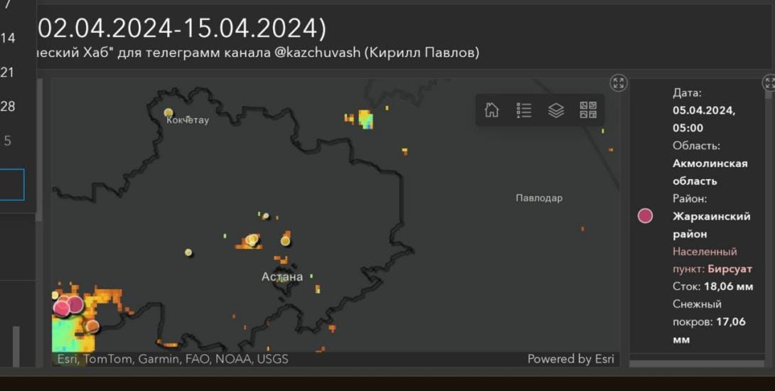
Flood forecasting in Kazakhstan

Flood forecasting in Kazakhstan

A free flood forecasting system based on satellite data.
Attila The Hunn 08 Jul 2026

Subscribe to HUNN.KZ

Don't miss out on the latest news. Sign up now to get access to the library of members-only articles.
  • Sign up
HUNN.KZ © 2026. Powered by Ghost