Water inflow into Baikal has been growing since 2017, scientists found no analogues in 343 years
An international team used pine tree rings to reconstruct 343 years of flow for the Selenga and Angara rivers linked to Lake Baikal, concluding the current rise is the most pronounced recovery in that entire period.
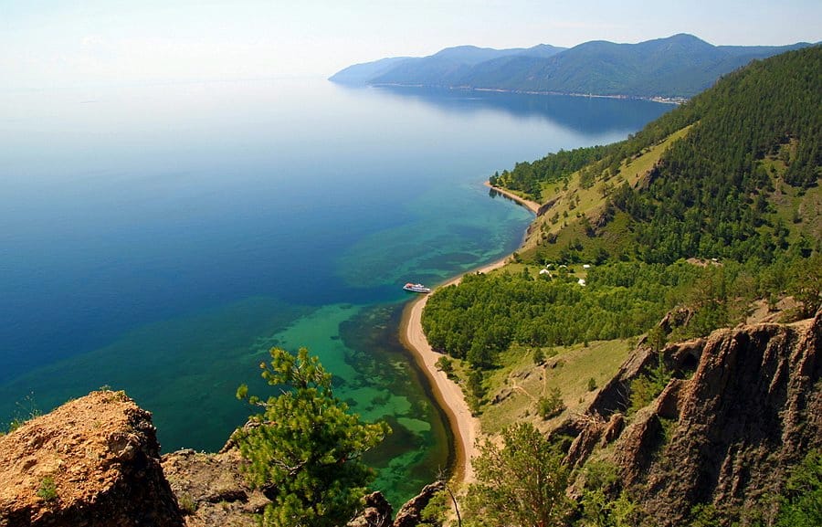
The runoff returned to 145.2%, which is above the long-term average, and the growth has been ongoing approximately since 2017, the authors write in Geophysical Research Letters.
The gist in brief
- The runoff reconstruction for 1682-2024 was made based on 52 pine samples near Lake Baikal and data from 12 additional sites.
- The rise of 2017-2024 is called the most pronounced recovery in 343 years after the decline of 1995-2016; runoff reached 145.2% of the long-term average.
- In the 20th century, runoff declined from 151.3% to 63.8%.
- Climatic and environmental factors explain 59.3% of runoff changes; whether the rise is stable, the authors do not know.
What the reconstruction showed
The study, as stated on the journal's website, was first published on November 3, 2026. In the autumn of 2024, scientists collected 52 samples of Scots pine at two sites near Lake Baikal and combined them with data from 12 sites from the International Tree-Ring Data Bank. Using these, they reconstructed the total runoff of the Selenga River (inflow to the lake) and the Angara River (outflow from the lake): for this, they averaged data from stations on these two rivers.
In the 20th century, according to the reconstruction, periodic declines reduced runoff from 151.3% to 63.8%, with about half of all extremely dry years occurring after 1900. Then, after a sharp decline in 1995-2016, a rise began: the authors call the 2017-2024 period the most pronounced recovery event in all 343 years. Rises, according to their data, are usually sharper but on average about 1.2 years shorter than declines.
How reliable the data of recent years are
There are no direct runoff measurements in the database on which the model was built after 2014. Therefore, the authors obtained estimates for 2015-2024 by extrapolation beyond the calibration period. They compared them with monthly lake level observations for 2008-2023 and with gridded runoff data for 1902-2019, and the results are consistent. The rise itself coincides with greening of the basin and an increase in lake level, but the level values are not given in the text of the study. The influence of hydroelectric power stations on the Angara in the mid-20th century on the lake level, as the authors write, did exist, but data from the upper reaches of the river showed minimal influence on the natural signal used to build the reconstruction.
What is behind the rise
Climatic and environmental factors together explain 59.3% of runoff changes over 1983-2017. The largest contributions came from potential evaporation (13.2%), the Palmer Drought Severity Index (9.7%), water vapor pressure (9.6%), snowmelt (8.6%), and vegetation productivity (7.9%).
The authors then go beyond the calculations. Runoff is linked to sea surface temperature and sea ice in the Bering, Chukchi, East Siberian, and Okhotsk seas. Over the past decade, warming in these seas has slowed, and sea ice has retreated less, which coincided with the "Arctic cold blob." This, in their hypothesis, could have altered atmospheric circulation and strengthened moisture transport toward Lake Baikal. However, the link between the ocean and precipitation requires verification in climate models.
What remains unclear
The authors write that it is not yet possible to say whether this is a stable regime shift or a transitional phase: the rise may be supported by a temporary climate phase at high latitudes. They acknowledge limitations: a more extensive tree-ring observation network is needed, mechanism verification is needed, and caution is needed regarding the 2015-2024 estimates. If forecasts rely only on the previous drought trend, then, according to them, they may overestimate future aridity.
Why this matters
Lake Baikal holds about one-fifth of the world's unfrozen surface freshwater. The lake's balance depends on inflow via the Selenga and outflow via the Angara, and this is important for irrigated agriculture in Mongolia's main agricultural region and for hydropower on the Angara cascade.
What about water in Kazakhstan
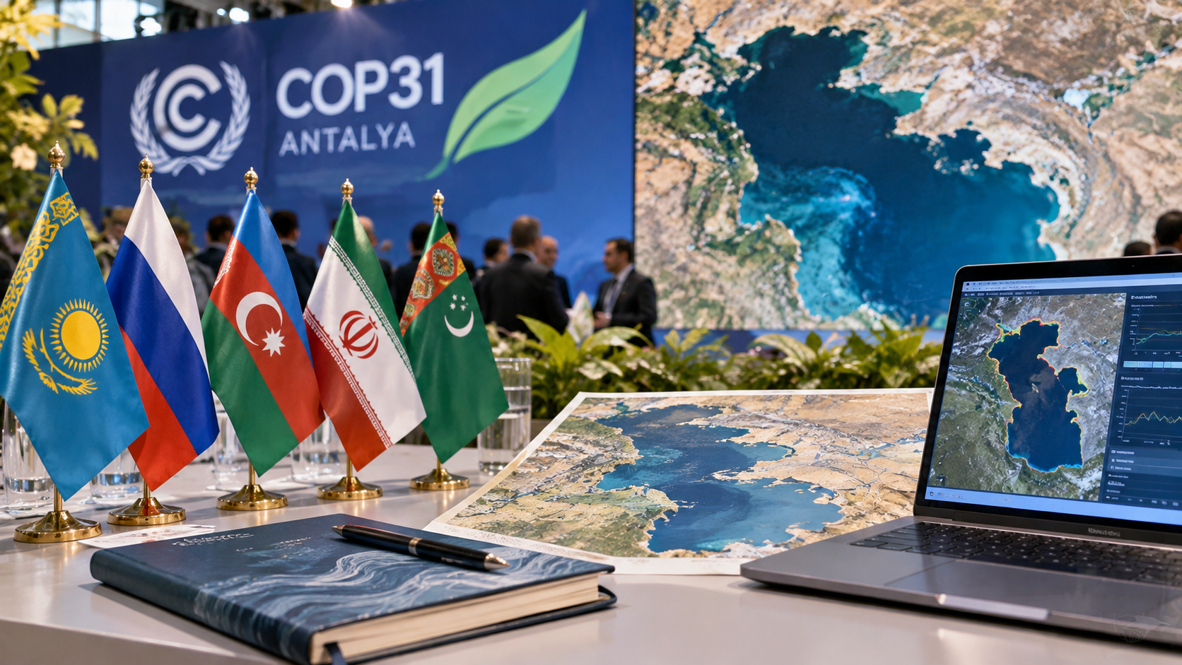
Lake Baikal and the Caspian Sea are different basins, and the Baikal study does not consider the Caspian, but in Kazakhstan the water picture is different. The level of the Caspian Sea, as scientists said at a discussion at the National Academy of Sciences, has declined by approximately 2 meters over 20 years, and they proposed creating a water balance monitoring system based on satellite data and artificial intelligence. The Kazakh Research Institute of the Caspian Sea, for whose equipment 1.1 billion tenge was allocated, conducts observations on 50 parameters in the open water area and on 26 in the coastal zone. Five Caspian countries in September approved an interstate program that provides for the exchange of data on water, biological resources, and sea level, and the UN Development Programme discussed three environmental projects for the Caspian with Kazakhstan. Within the country, a unified digital water resources management system has been launched, and at the "SCO Plus" summit Kazakhstan once again proposed creating an International Water Organization under the UN.
The authors' conclusion
This is a reconstruction based on tree rings, not direct measurements, and the most recent years in it are calculated rather than measured. Therefore, the phrase "the strongest in 343 years" should be read as the authors' estimate. They themselves call for planning water use with allowance for sharp shifts between dry and wet periods, and whether the rise will continue will be shown by new measurements of runoff and lake level.
Comments ()