Winter ice reduction in the Barents and Kara Seas linked to drought in Kazakhstan
Researchers from Germany's Alfred Wegener Institute and Bucharest University linked low winter ice in the Barents and Kara Seas to summer drought from Eastern Europe to Kazakhstan.
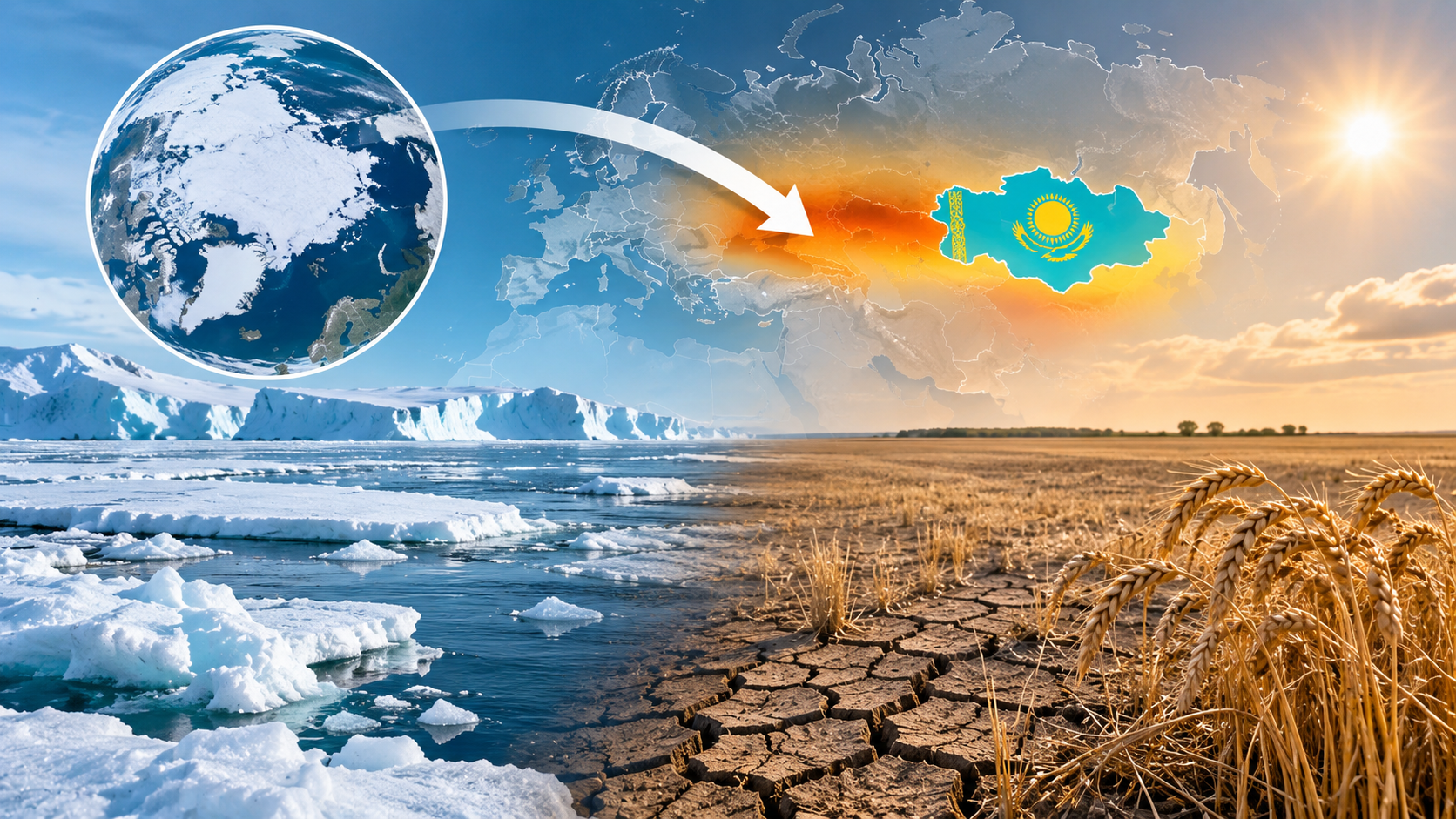
According to their researchers, in such years an anticyclone more often forms north of the Caspian, which is consistent with air stagnation, an inflow of warm dry air and reduced cloud cover, the authors write in Frontiers in Water.
The gist in brief
- Scientists compared the ice area in two seas in October-March with the drought index in May-September and found a link between winter ice reduction and summer moisture deficit.
- Three different methods confirmed the link over 54.1% of the significant zone, which stretches from eastern Romania and Moldova through the Black Sea region and the Caspian to Kazakhstan.
- In years with little ice, the region's surface receives 5.35 W/m² more solar energy in May-September, with about 57% of this difference coming from reduced cloud cover.
- The authors emphasize that the work does not prove a causal relationship and does not provide an accurate seasonal forecast.
What the scientists found
To compare ice and drought, the authors took the common period from 1901 to 2017: ice for October-March based on observational reconstruction, drought for May-September based on the SPEI index, which accounts for precipitation and evaporation. They studied the mechanism using ERA5 atmospheric reanalysis data for 1941-2024. They identified the main pattern of winter ice change in the Barents and Kara Seas using mode decomposition: it explains about 48% of its variability. They then compared winters with the least and the most ice and tested the link with two more methods, an information transfer directionality assessment and a statistical forecast model. All three methods confirmed the link over 54.1% of the significant zone.
The area where drought turns out to be stronger after low-ice winters begins in eastern Romania, Moldova and Ukraine, passes through the northern Black Sea region and the Caspian and reaches Kazakhstan. The authors did not include the Iberian Peninsula in this corridor: there the link was confirmed more weakly. The winter ice index itself hardly correlates with the North Atlantic Oscillation and the Scandinavian pattern, so, according to the authors, it cannot be reduced to either of them.
How Arctic ice can influence drought
According to the authors' version, the mechanism consists of several links:
- after winters with little ice, a pressure dipole forms in the Arctic in summer, with increased pressure over Greenland and the Canadian Archipelago and decreased pressure over the Siberian Arctic;
- the circulation pattern is consistent with a more meandering jet stream, and the wave structure covers the North Atlantic and Eurasia;
- north of the Caspian Sea and over western Kazakhstan, a positive pressure anomaly arises, that is, an anticyclone, which is consistent with air stagnation and reduced moisture inflow, while warm dry air from the south, according to the authors' assessment, reaches eastern Romania, Moldova and southern Ukraine;
- cloud cover decreases from Eastern Europe to Kazakhstan, the surface heats up more strongly from the sun, and precipitation efficiency declines.
For the region between 25 and 90 degrees east longitude and 40 and 55 degrees north latitude, the authors calculated +5.35 W/m² of net shortwave radiation at the surface in May-September.
What the study does not prove
The authors themselves note that the chosen methods do not prove physical causality. They found no direct pathway for wave activity from the Barents and Kara Seas to the arid region, so they consider circulation a context rather than direct evidence. The work contains no experiments with climate models, so the contribution of Arctic ice relative to other factors has not been assessed. Evaporation and land-atmosphere coupling were not assessed, so it is unclear whether soil moisture amplifies drought anomalies. Other factors that may alter the signal include multi-year variability, Eurasian snow cover and soil moisture memory, according to the authors. The influence of other Arctic seas was not assessed by the authors, and they do not claim that the Barents and Kara Seas are the only ones whose ice affects summer drought in Eurasia.
Predictive value is also limited: winter ice can provide information about the risk of drought in May-September, but, as the authors write, this does not mean deterministic predictability. They propose taking it into account in probabilistic forecasts together with spring precipitation, soil moisture and circulation indicators.
What the weather was like in Kazakhstan in 2026 and what is expected in winter
According to Central Media, in 2026 the average temperature in the country was 2.15 degrees above normal, and precipitation was below usual. Rain helped crops in Kostanay and most of North Kazakhstan regions, while in parts of Akmola and Karaganda regions drought persisted longer. Kazhydromet expects a relatively warm winter, with December forecast at about 2 degrees above the climate norm.
Author's conclusion
The study gives Kazakhstan another early indicator of a dry summer, but not a forecast: the authors propose looking at ice in the two seas at the end of winter together with spring precipitation and soil moisture. For now it is a tool for probabilistic risk assessment rather than for accurate seasonal predictions, and it remains to be tested on climate models, which are absent from the work.

Comments ()